The northern border of Oregon is the Columbia River, and as boaters we were particularly interested in learning more about the infamous Columbia River Bar. The out-flowing river is slowed by the incoming ocean swells where the Columbia meets the Pacific Ocean, causing sand and sediment carried by the river to be deposited into shifting shallows and shoals at the river’s mouth. From the late 1800s through the early 1900s the Army Corps of Engineers constructed miles of rock jetties to reduce the sediment deposition (by accelerating the river flow) and to minimize the constant changes to the navigable channel. While the jetties have helped to stabilize the channel, the opposing forces of the two bodies of water combined with shallow depths (called a “bar”) can make sea conditions horrific.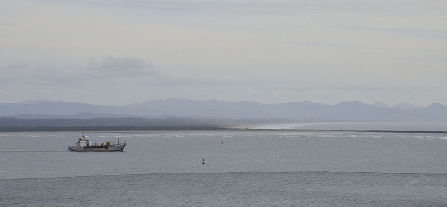 Specially trained and experienced Bar Pilots guide commercial ships in and out of the mouth of the Columbia, and the Coast Guard maintains a station just inside the bar. Conditions on the Columbia River bar are notorious, even for large ships, particularly during winter storms where seas can reach 40′ or more. The Coast Guard has it’s special Motor Lifeboat School (MLB) here – to develop the highest level of skill for the sturdy 47′ MLB coxswains. We saw these brave and talented folks training and practicing out on the bar every day, and they do so in ALL conditions, including breaking surf.
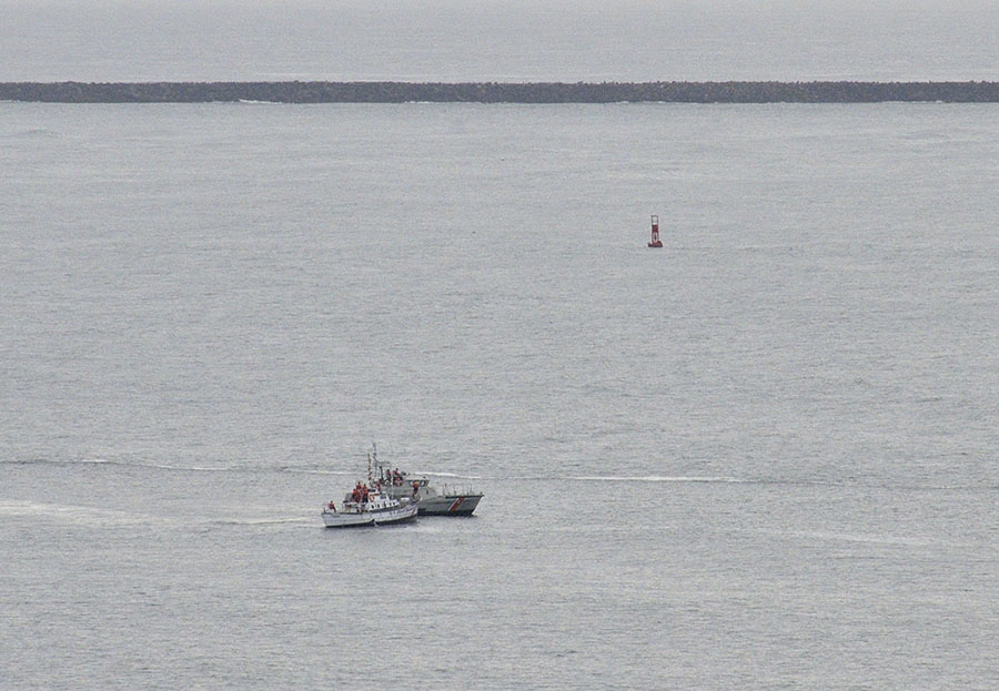 The two photos above were taken from the Washington side of the Columbia River bar, from Cape Disappointment – named by a fur trader who turned his ship around too soon, missing the Columbia River. The lighthouse also has an observation room, staffed by a Coast Guard watchstander with huge binoculars.
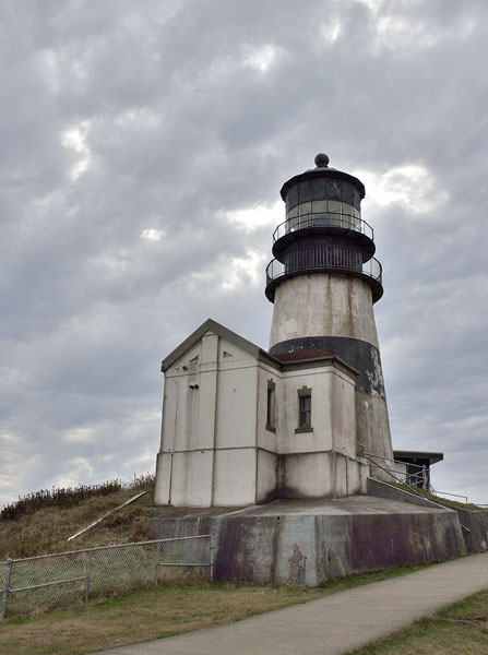 Oh, and the little Douglas squirrels were really cute too.
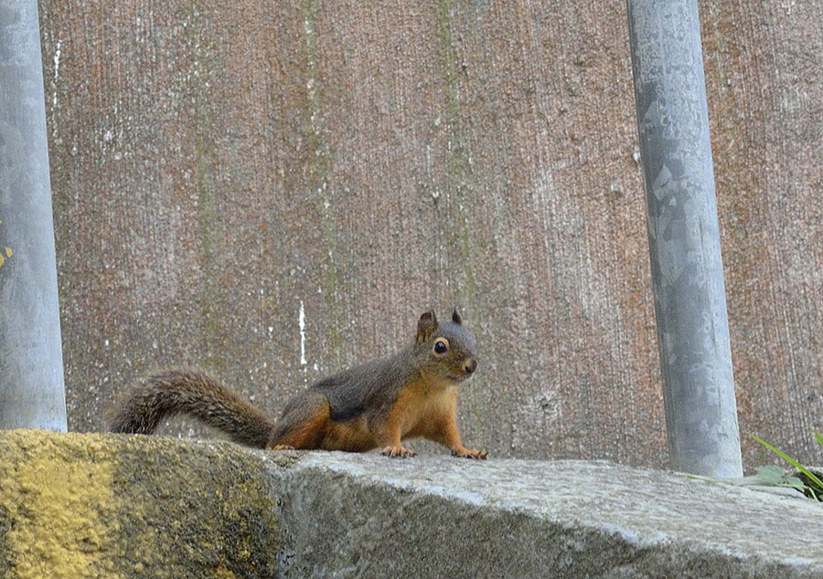
We gained a much better understanding about the infamous river bars along the Pacific coast, and appreciated the incredible dedication of the Coast Guard to train and serve in those conditions.
Back across the river we explored the small city of Astoria, spending a very rainy day in the Columbia River Bar Museum – wow!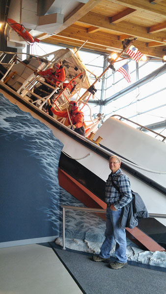 The replica of a Coast Guard surf boat performing a rescue was a sobering reminder of what can happen here, and we learned a lot more about the river and the area. Outside, the retired lightship Columbia was docked and open for tours – we just couldn’t imagine how the men could stand living aboard the round-bottom lightship anchored out on the bar in all conditions!
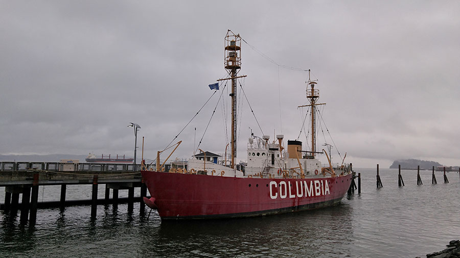 The Cape Disappointment lighthouse, range markers and other modern navigational aids have replaced the need for a lightship… thank goodness.
Astoria also boasts a Column – a 125′ tall structure that depicts a number of significant events in early Oregon history.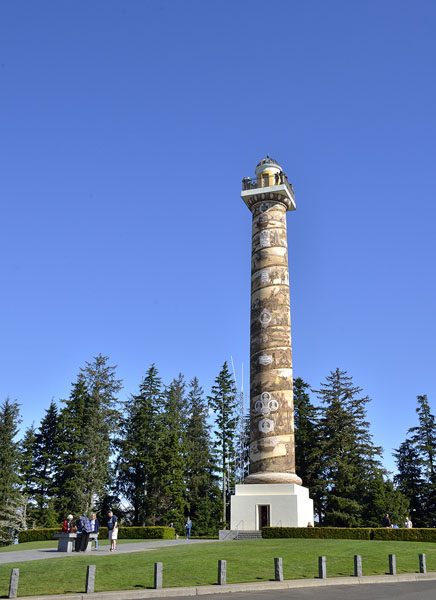
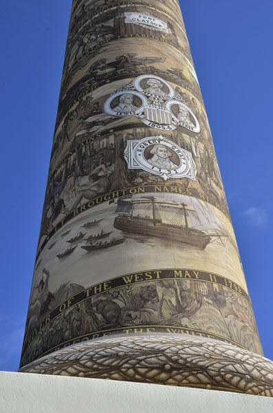 We climbed to the top, enjoying the spectacular view…
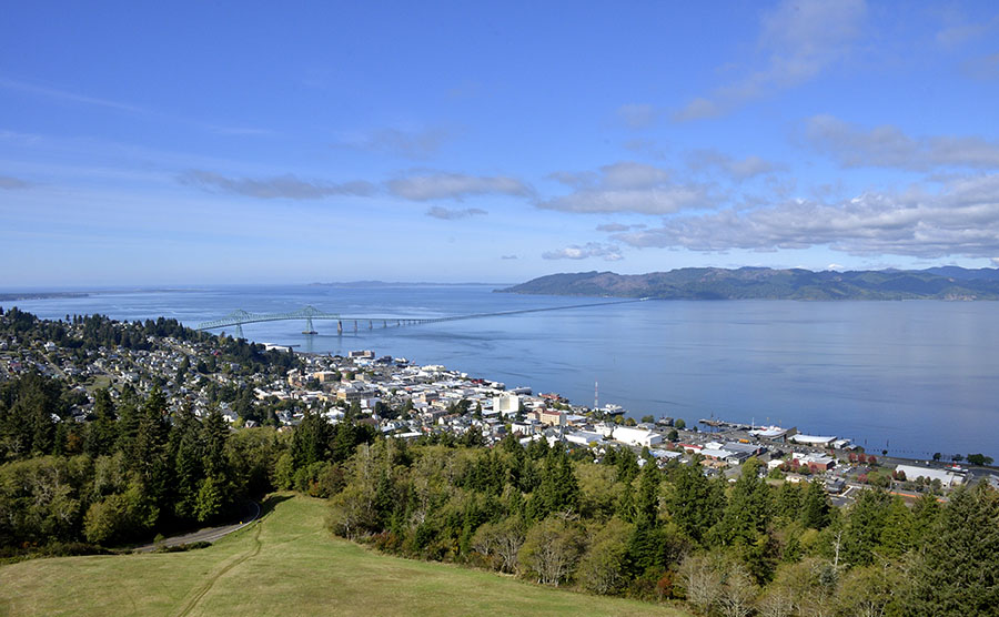 …as well as the tradition of tossing little balsa wood airplanes from the top. You can either buy them at the gift shop, or just collect some from the grounds.
Besides the Fort (Stevens), beaches, jetties, shipwrecks, lighthouse, museum, column, hiking trails and elk, the area around the mouth of the Columbia is important since it was the terminus of the Lewis and Clark Expedition. We refreshed a lot of forgotten middle school history, visiting some sites and museums about the expedition, commissioned by President Thomas Jefferson. Beginning in the spring of 1804, Lewis and Clark and their Corps of Discovery traveled from St. Louis to the mouth of the Columbia River, exploring and mapping and establishing trade relationships in the newly acquired Louisiana Territory and the western states. As adults it’s easier to more fully appreciate the incredible challenges and accomplishments of these brave people. Looking at a replica of Fort Clatsop, where they spent their last winter before heading back east was enough to give anyone pause.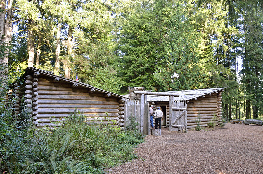
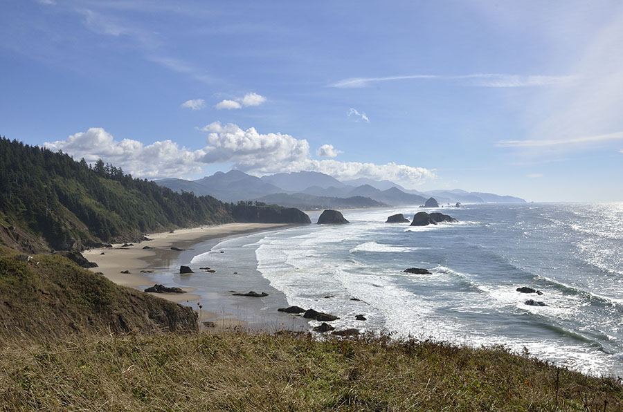
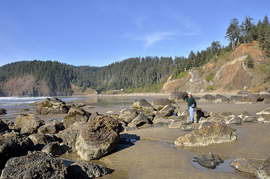 The fine sand… rocks and tidepools… and the mist of salty air made for a spectacular setting.
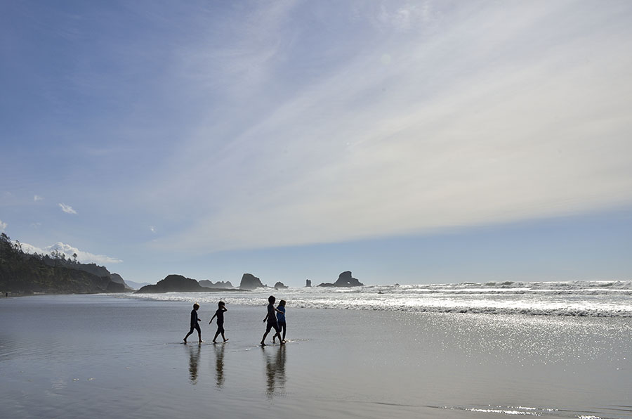
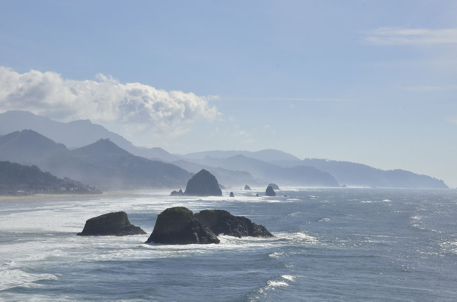 In the distance we could see Oregon’s northernmost lighthouse – Tillamook Rock, also known as “Terrible Tilly” because of its location on an offshore rock constantly pounded by the surf.
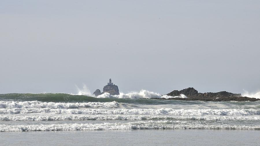 A little farther down the coast, near the town of Tillamook, we hiked out to the promontory at Cape Lookout, with vistas of more beautiful beaches…
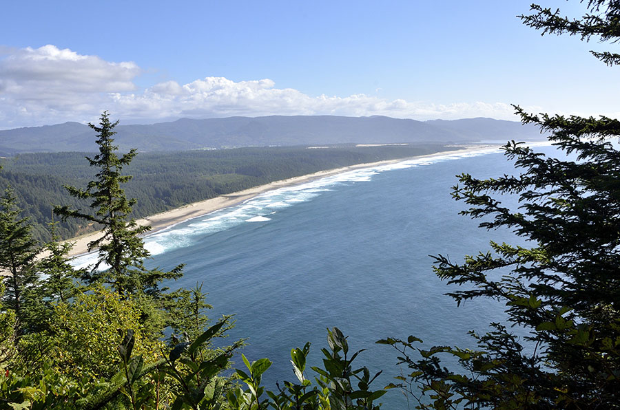 …the sounds of barking sea lions, and deep forest. We were very lucky to have clear, dry weather – much nicer than we expected to find in the “Pacific North-Wet” in October. The salal bushes still had a few flowers blooming, which made the bees happy.
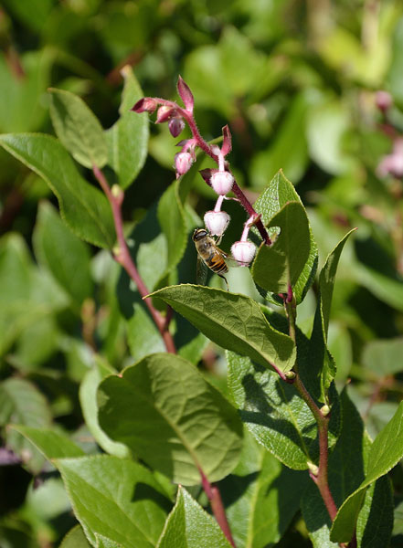 Despite the long, muddy, root-y hike out to Cape Lookout we still had enough energy for a short hike to see Munson Creek Falls in the late day light.
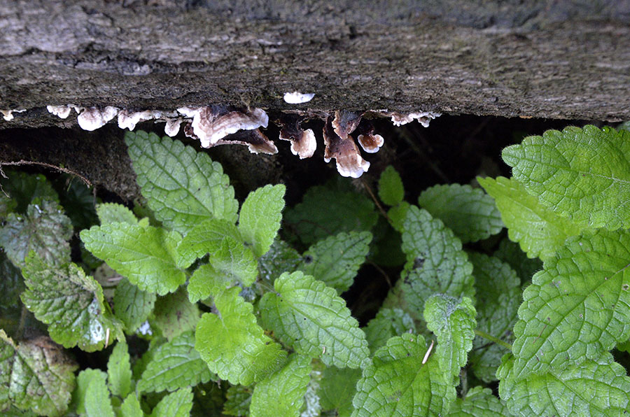
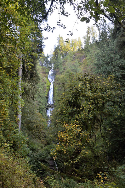 The fall color wasn’t the best because the northwest had a pretty dry summer, but fall is my favorite season and I’m happy with any color at all. Even these tiny mushrooms and pretty green leaves made me smile. Beauty all over the place, great and small.