Crater Lake National Park

First it was a mountain, then it became a lake thanks to a huge volcanic eruption about 7700 years ago. Crater Lake is big and it’s really intensely blue!

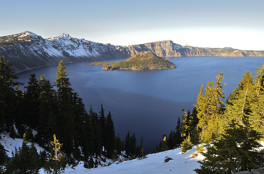
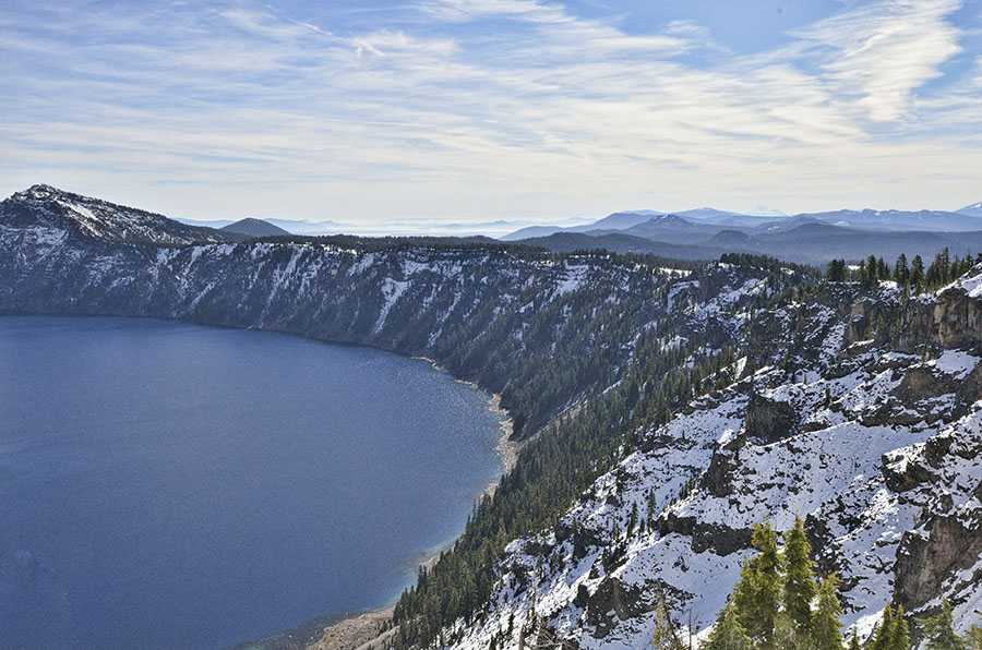
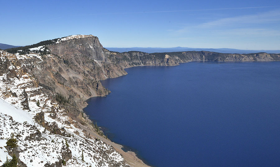
Crater Lake is located in the southwest corner of Oregon at an altitude of about 6100′, though the lake level varies with precipitation. It’s the deepest lake in the U.S. at 1943′, but all the statistics and superlatives are eclipsed by the fact that it’s really beautiful.

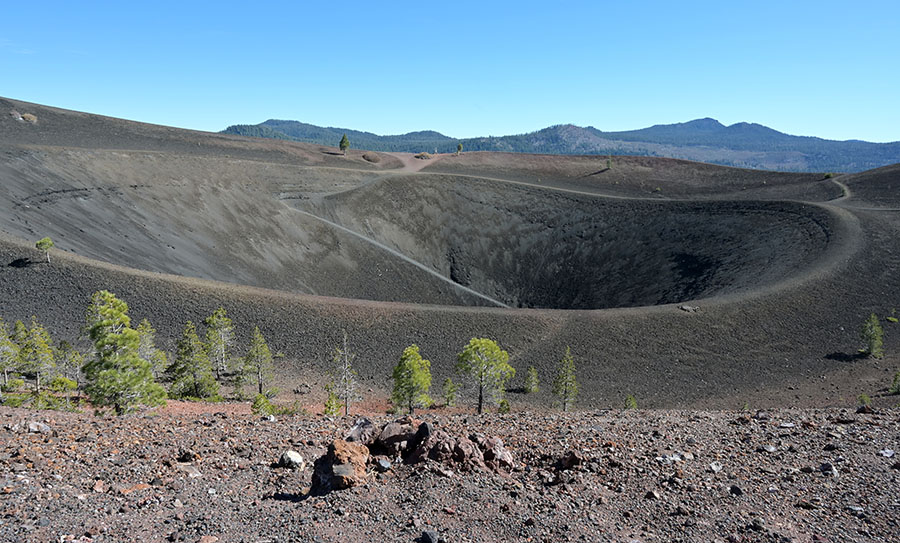
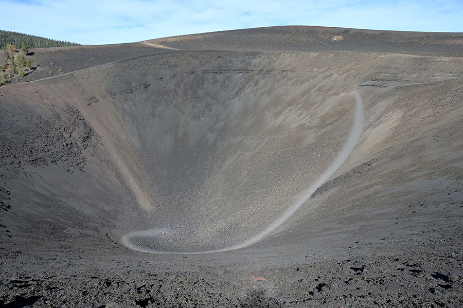
Wizard Island, the most prominent feature in the lake, is a cinder cone from a subsequent eruption. Several other cinder cones have been left behind from other eruptions, but the rest of them are hidden in the depths of the lake.

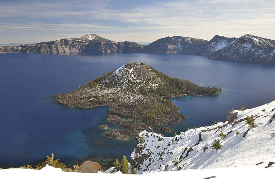
These two photos of different parts of the rim try to show how high the lake sides are – ranging from 500′ to almost 2000′ above the lake level. It’s hard to grasp how big it is just peering down from the rim.

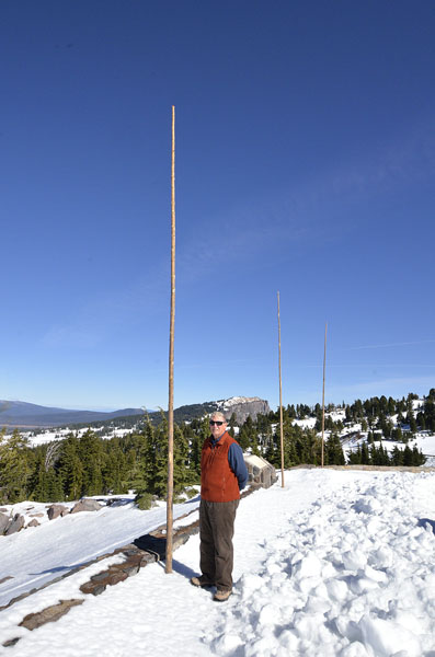
We were at the lake in later October, but most of the rim road was already closed due to snow. Crater Lake is a very snowy place, getting up to 533 inches a year!

Snow sticks

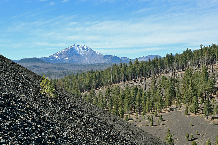
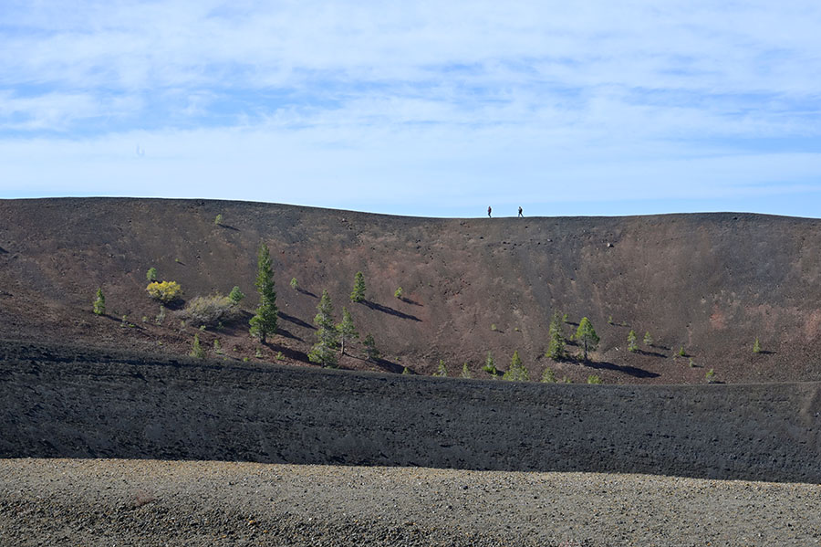
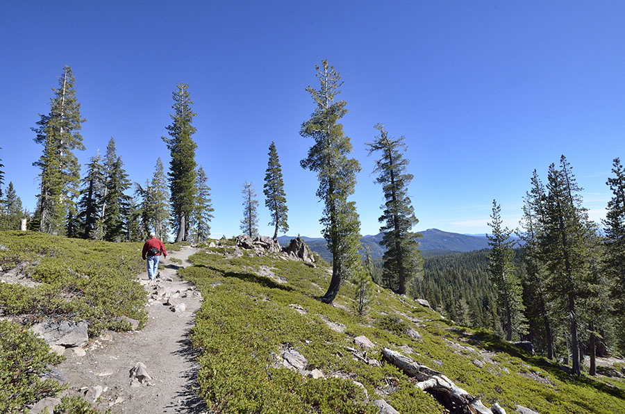
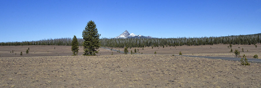
The second day we were there the plows managed to open up a little section of the rim road so we could explore the park just to the north of the lake itself. Distant mountains…

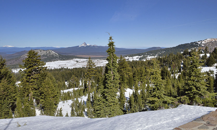
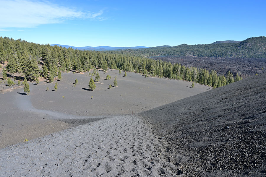
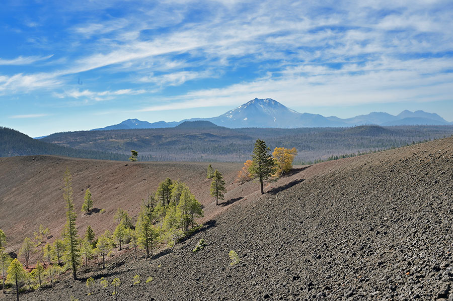
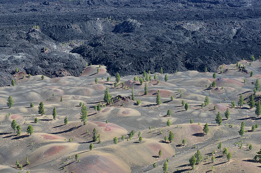
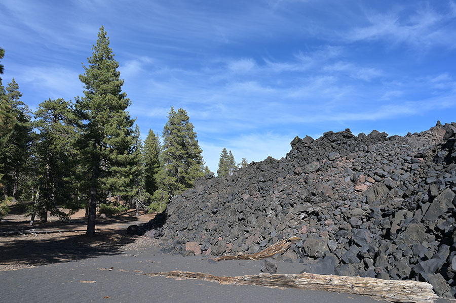
…and the Pumice Desert tell the unmistakable story of volcanic activity throughout the region.

Pumice Desert

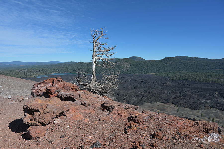
As we wrapped up our fall road trip we realized that almost all of our stops were related to volcanoes and geothermal activity, though we didn’t set out with that intention. We covered roughly 4000 miles on our circuit around some of the western states and the fact is that volcanoes and faults and basin-and-range formations influence a significant part of the landscape in the northwest.

We’re sorry to take so long to get back to the Blog, but we arrived home and hit the ground running… and now we’re already in the very busy (and fun) holiday season in Petersburg. There’s lots to report about – the massive town Christmas tree, Pickled Herring, etc. The stores are stocking up on butter and other baking supplies, the dancers are making final preparations for their recital next weekend, holiday parties are filling everyone’s calendars, homes and our boat are colorful and sparkly with lights to brighten these days with so little daylight. Santa is coming!

More Lassen Volcanic – A Real Gem!

The final image in the last post was of the 700′ tall Cinder Cone volcano in Lassen Volcanic National Park. Formed in the 1650s, this basalt lava cinder cone was part of two eruptions. The hike to the top starts at over 6000′ of elevation, but we’ve spent most of the past couple of weeks at altitude so we were acclimated pretty well. I wasn’t sure I could make it up that steep trail… but the closer we got to it the more we just had to see what was up there!

Steep!

Trudging in the soft cinders was challenging, but we would take about 50 steps and then pause for a count of 50. The trail winds around the cone so the views kept changing, offering new rewards for the climb.

Lassen Mountain

You can see how steep the cone’s sides are in the photo above! I wouldn’t have guessed that I could do it, but we both made it to the top and it wasn’t as difficult as I had imagined. The reward for our efforts was well worth it!

Two tiny people on the rim

We scampered around the inner and outer rims, even hiking part way down into the center…

…marveling at the different colors of the rocks…

…and taking in the sweeping views of the Fantastic Lava Beds and Painted Dunes below.

The Fantastic Lava Beds were formed when basalt lava leaked out of the bottom of the cinder cone as it was erupting. It was overwhelming to grasp its size as we took in the panoramic views from the rim. Here’s what it looks like from ground level, next to tall Jeffery pines at the edge of the forest.

What a stunning landscape, with such stark and sudden transitions!

With names like Brokeoff Mountain, Chaos Crags, Devastated Area, Fantastic Lava Beds and Bumpass Hell – Lassen Volcanic National Park is a true gem of a place, well worth a visit. We enjoyed other hiking trails in the park – the variety of terrain offers something for everyone.

Lassen Volcanic is located in the midst of Lassen National Forest, and we found other notable features worth exploring in the National Forest as well. There just wasn’t enough time to see and do all of it! But we brought our flashlights and were able to investigate the “Subway Cave” that was just off the road between the park entrance and our campground. Subway Cave is a lava tube, formed when the lava at the top cooled as it was exposed to the air, while molten lava continued to flow underneath. The name “subway” is appropriate – it’s as wide and tall as a modern subway tunnel!

The tunnel meanders for about 1/2 mile, and it’s amazing to imagine nature’s forces at work as molten rock oozed along the smooth channels. The tunnel was found when part of the roof collapsed, revealing the secret underneath. As we drove past the area, we saw the terrain in a completely different way – with a better understanding of what we were looking at. We came, we hiked, we explored and we learned – it was a perfect visit.