Chichagof Mines

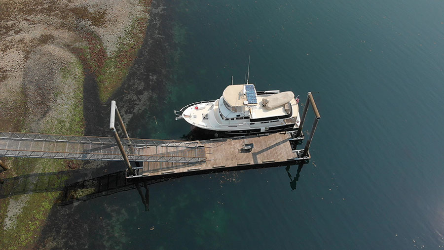
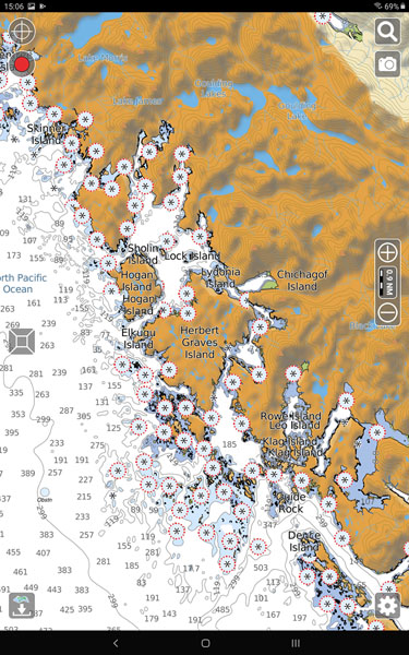
Even though we’re exploring the outside coast of Chichagof Island, there are plenty of hidey holes and rocky passages where we can find protection from ocean waves. It’s daunting to look at the chart in some of these areas, and there’s no question that we have to pilot the boat with care – but it’s fun to be challenged. This is a very remote area though – not a good place to break down!

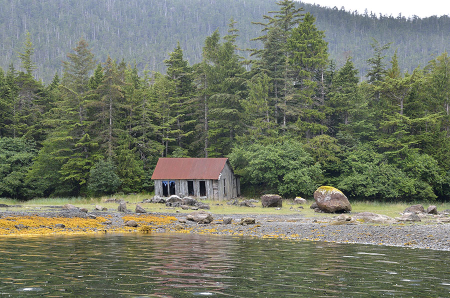
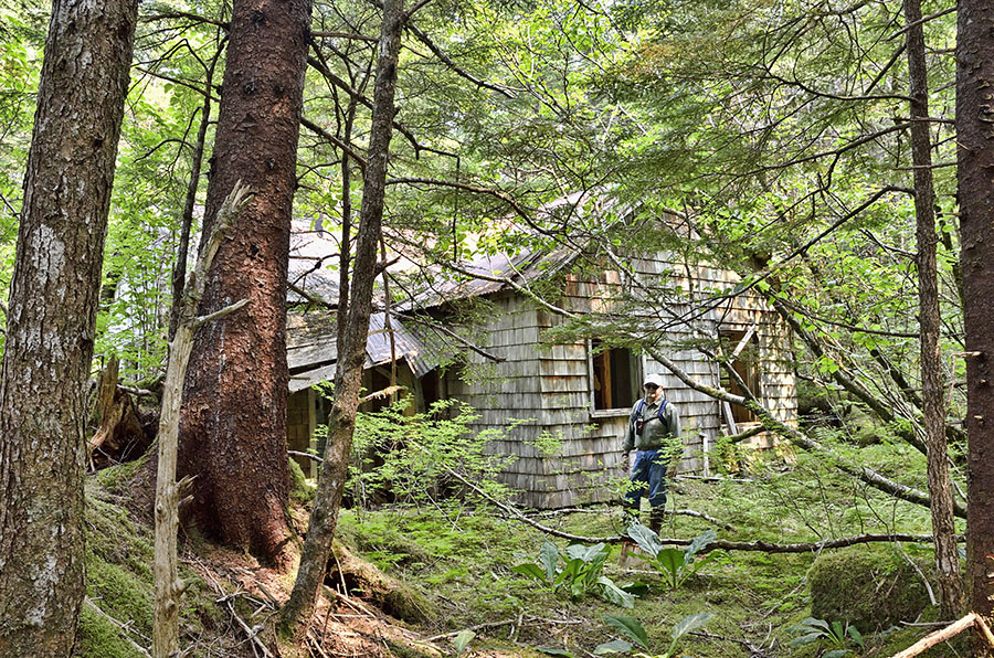
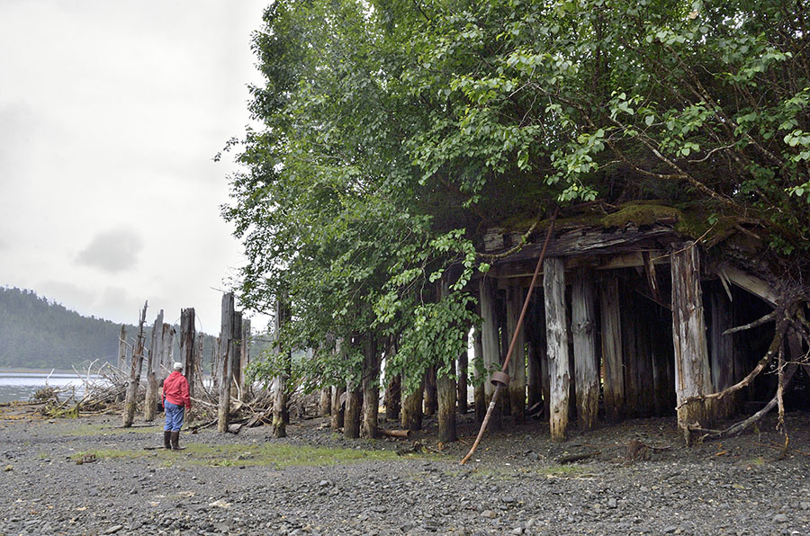
We stopped for a night in Kimshan Cove on the NW side of Doolth Mountain, site of a gold and silver mine in the late 1930s through the late 1950s.

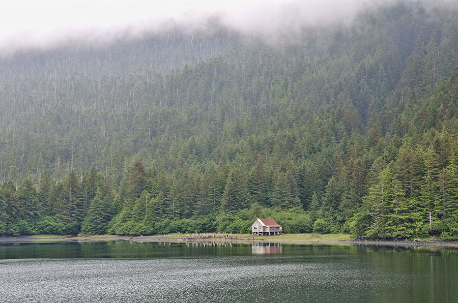
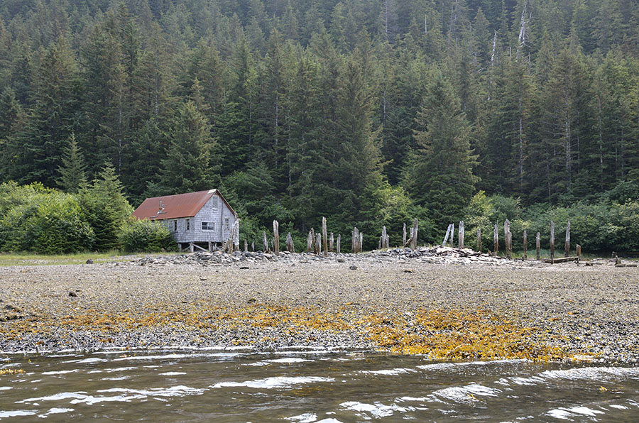
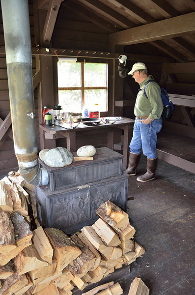
The building you see here is sort-of maintained as a shelter for kayak campers…

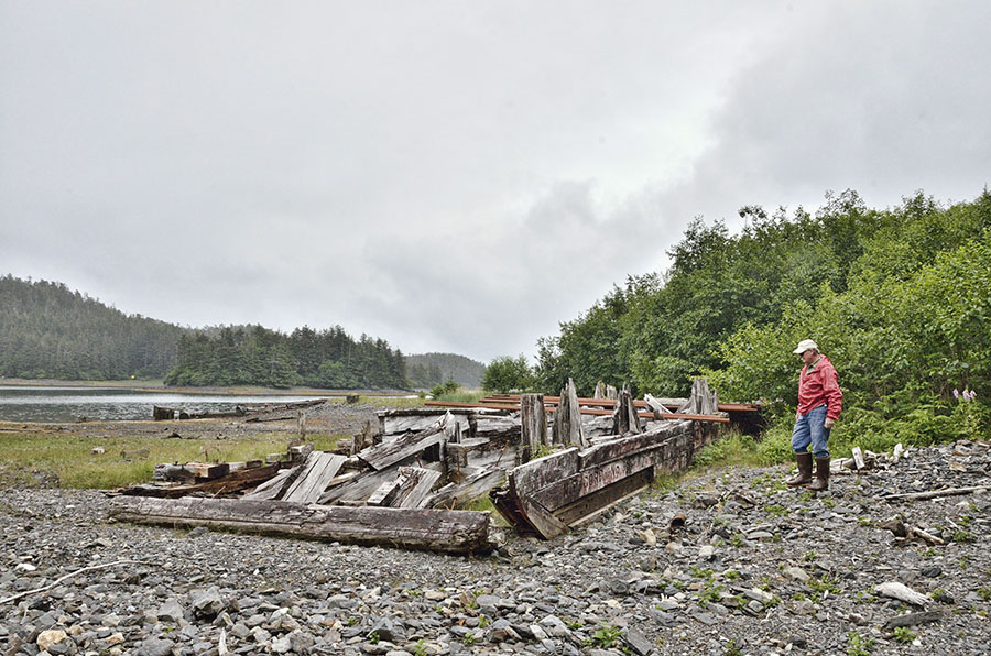
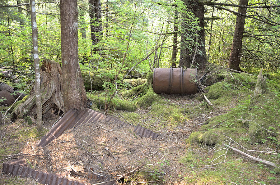
…and there was also a privately owned hunting cabin nearby. We had a hard time finding the mining ruins – the forest is reclaiming everything, and we’d need a machete to open up some of the overgrown trails. We hiked up a creek bed and found one building and a bunch of rusted drums – hopefully they were empty when they were left behind.

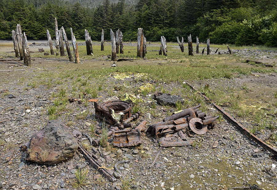
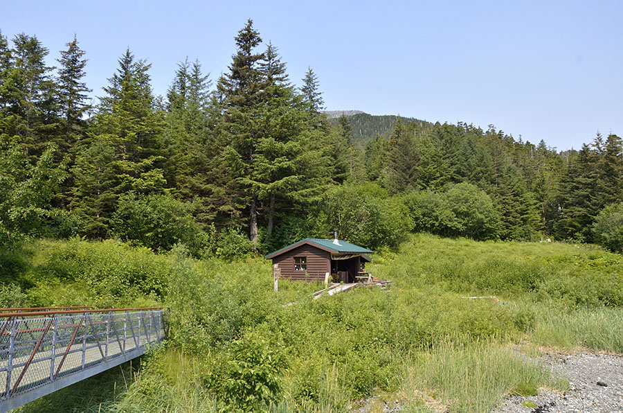
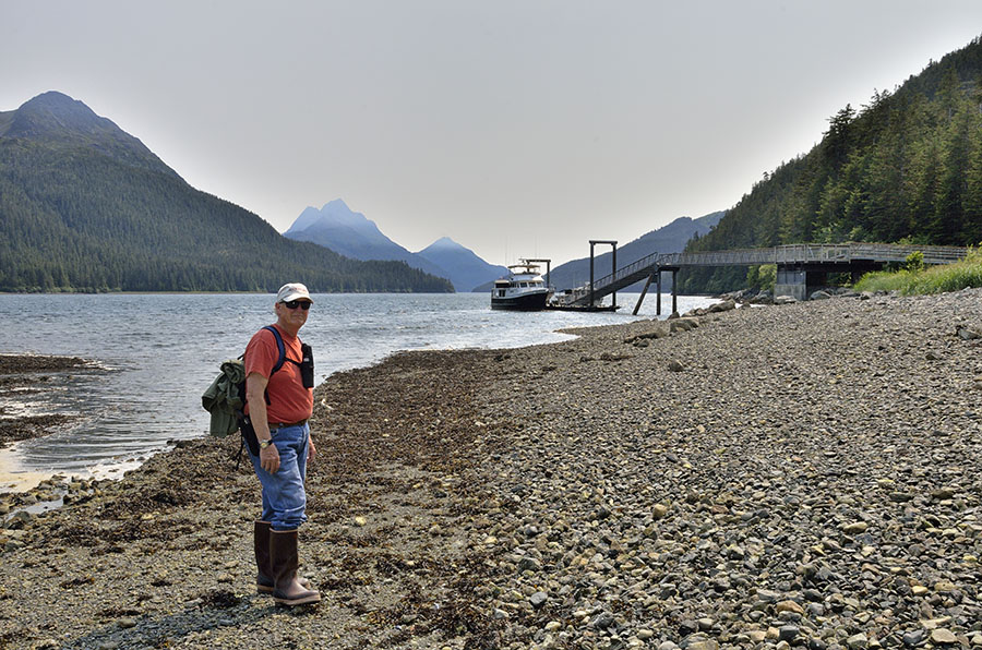
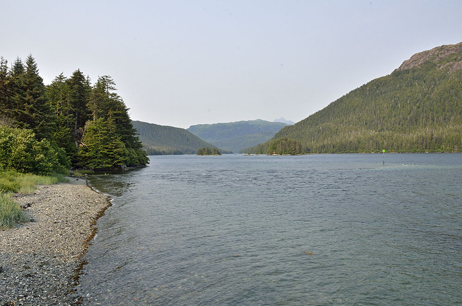
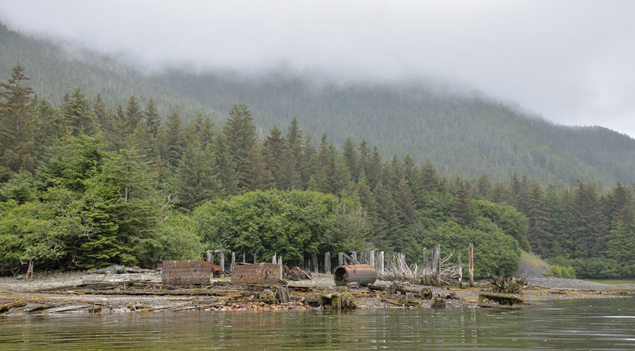
The next day we had a long, winding cruise to get to the other side of Doolth Mountain to visit a bigger abandoned mine site in Klag Bay. Klag Bay is a long, narrow bay with a short, crazy entrance channel (“The Gate”) and lots of wiggling around the rocks in Elbow Passage.

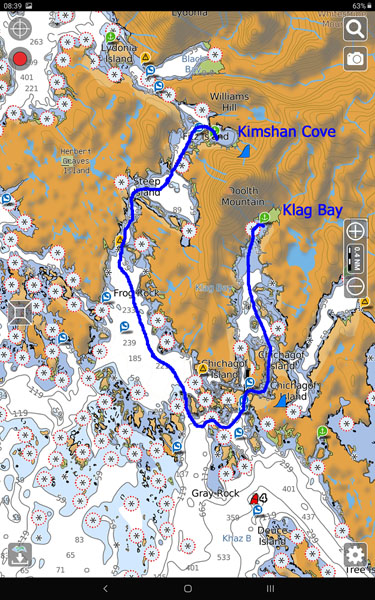
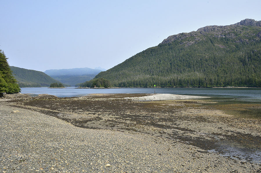
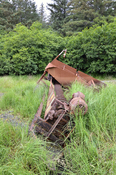
Klag Bay is about 45 miles north of Sitka, and it was an active gold and silver mine from 1905-1942. Again, we weren’t able to penetrate the thick woods very far, but there was plenty on shore to explore.

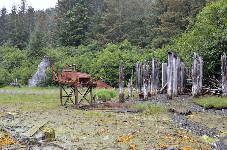
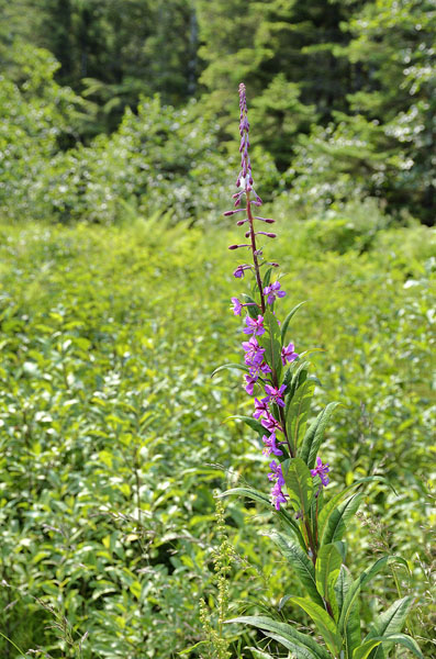
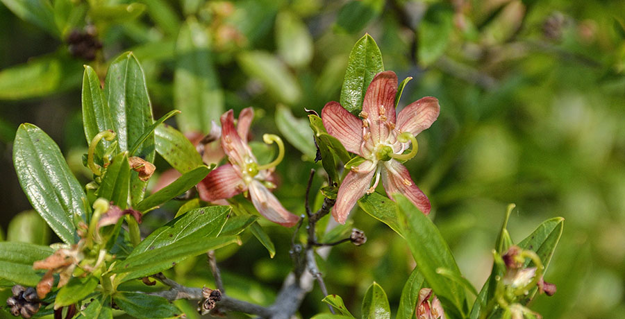
Among all the ruins and rusty equipment, foxglove was blooming – such pretty colors!

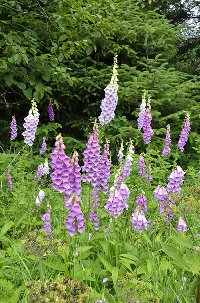
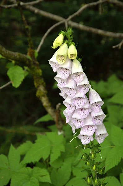
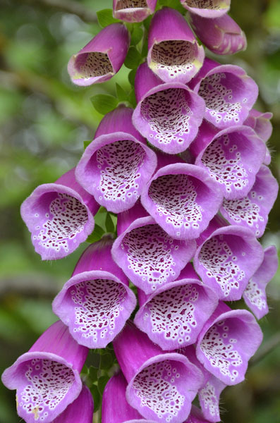
The perfection and beauty of the flowers seems so incongruous with the abandoned buildings and wreckage.

Lisianski Strait and Portlock Harbor

The distance from Pelican to our next stop was only 7 miles down Lisianski Strait to a place local friends told us about. Bohemia Creek on Yakobi Island has a dock, Forest Service shelter, and a very overgrown hiking trail.

It was odd to find a nice dock and ramp that led to the simple three-sided shelter in the middle of nowhere. It looks like locals use the shelter as a hunting camp, but it was quiet when we were there.

The haze in the photo above and in the video is smoke from wildfires burning far up in the Alaskan interior. Combined with the unusually hot, dry weather it made us wish for rain to cool things down and wash the smoke out of the sky.

The current in the Strait can be a little brisk, but the dock was tucked behind a big tidal flat that was dry at low tide…

…and it swallowed up the base of the green day mark at high tide.

We hiked part way up the trail, but it was so overgrown that we gave up. We could see a side trail into the muskeg, but it was too hot to slog through the soft ground there. The flowers were pretty – fireweed is finally starting to bloom…

…but I couldn’t identify this flower – there were lots of them!

This area had been a nickel mine in the 1920s and 30s, and you’ll see in the next post that there has been a lot of mining activity in the region over the years.

This was a fun little stop…

…but we were ready to head out the Strait, thread our way through the rocks and reefs along the coast, and head into Portlock Harbor. All the asterisks with circles represent large rocks or reefs, even at this level of zoom on the chart.

Although there are huge numbers of brown bears on Chichagof and its surrounding islands, we didn’t see a single one. Berries are ripe, but it’s too early for the salmon to start heading upstream so the bears are up in the woods eating sweets for now. We did see a nice family of mergansers up in Didrickson Harbor, right by the stream that will be full of bears in another couple of weeks.